After the glacier peak trip I flew down to California to hike the High Sierra Trail, which crosses the Sierra Nevada range from west to east. Einar flew in from Sweden and I met him at Fresno. We took a cab to the trailhead for $200 because the other guys we were hiking with had left a day and a half earlier. Our cabbie was happy to stop and see the giant sequoias:

We started at Lodgepole trailhead in Sequoia National Park and hiked about 5 miles to a place called Panther Gap where we got our first view of the Sierra range:

The next morning we contoured along a ridge before we started to ascend into the high sierras:


We stopped at Hamilton Lake our first night at around 10,000 feet of elevation. Maybe slightly less. It was a pretty lake and we met some nice people there.

The next day we climbed up to Kaweah Gap. On the way up I went for a swim in lower Precipice Lake:

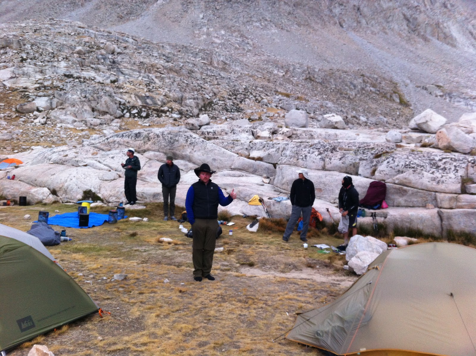
Einar sat on a rock:

Next we passed by Upper Precipice Lake. It was really pretty:

After Kaweah Gap we cam to the Big Arroyo Valley, which was one of the most scenic parts of the trip:


We hiked about 20 miles that day and finally caught up with the other guys in our group at the very end of the day. We rolled into Kern Hot Springs around 8:30 after it was already dark, and swam in the hotsprings while cooking dinner. We unknowingly camped about 100 feet from the rest of our group. They found us the next morning. Here we are playing hearts:

We had a couple of short days through some valleys before climbing up to Guitar Lake to prepare to go up Whitney. This is a lake on the way to Guitar Lake:

This is what it looked like at Guitar Lake.


We woke up really early the next morning to summit Mt. Whitney. We got going at 3:30 AM. There was a full moon that allowed us to hike in the dark even without a flashlight (mine had dead batteries).

It slowly got light as we ascended:

It's weird, even though Mt. Whitney is the highest point in the US, you can't see it until you're practically on it. Here it is from the trail:

Views from the trail to Whitney:

And here is the top. It's 14,480 feet or something like that:


Me, Einar, and Braxton at the top:

I took this picture on the way down. Everyone drops their packs for the last 1.9 miles and 1000 feet up to Whitney.

Here we are descending from Whitney down the "99 switchbacks" (we counted and it's debatable whether there are 99 or 97).

After the hike, Einar and I went to my Grandma's house in LA to go surfing for a few days. I had never surfed before. It was great to see my Grandma. Here we are at brunch.

Our first day of surfing, we took a lesson at Hermosa Beach pier. The waves were apparently not very good, but we honestly couldn't tell the difference. Surfing was a blast.

We played tennis with Braxton, who lives in LA also:

We went golfing:

And we went surfing up in Malibu the next day:

When I got home I got to meet my new cat, which Meghan had picked up a few days before I got home. She sleeps a lot:

I want to go on that Sierra hike.
ReplyDelete